
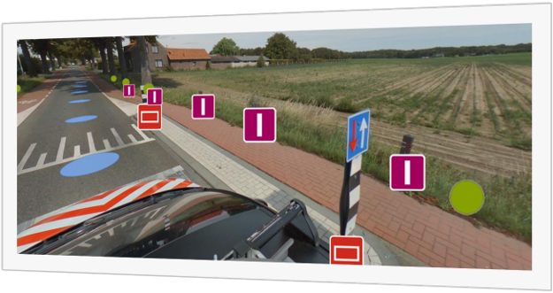
Pothole Detection System
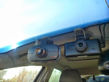
Thanks to cameras positioned at the front of vehicles and equipped with AI-powered image processing capabilities, the road surface is continuously and instantly scanned. The software running on the camera detects potholes and surface damages on the asphalt in real time and automatically records them as events. For each detected pothole, precise coordinate data, as well as visual and video evidence showing its location, are simultaneously generated by the system and transmitted to the central infrastructure.
Data collected from multiple vehicles and cameras are combined and analyzed in a central server environment. Potholes detected repeatedly at the same location at different times are matched using ML-based algorithms, preventing duplicate records. In this way, data complexity in the field is reduced, and a clearer, prioritized road map is created for maintenance and repair teams.
With this system, municipalities and relevant institutions can take rapid action based on verified and consolidated maintenance lists, instead of dealing with newly generated records every day.
Underground Pipeline Scanning System:
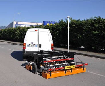
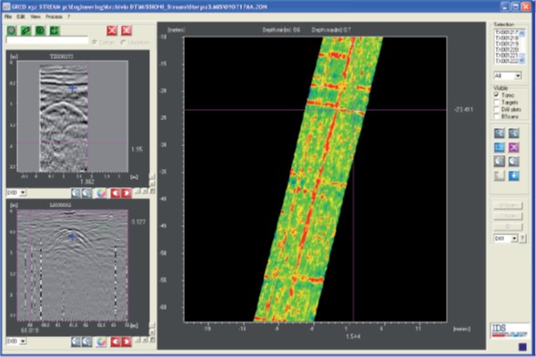
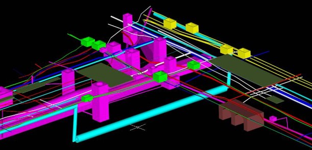
This service enables the precise detection of the location of underground pipes, cables, and other infrastructure elements by scanning roads and infrastructure areas using radar (Ground Penetrating Radar – GPR) technology. With a dual-frequency antenna array, high-resolution tomographic images, and 3D reconstruction of subsurface structures, infrastructure components are clearly revealed. The data is then transferred to AutoCAD and GIS environments, allowing institutions to have up-to-date and coordinate-based infrastructure maps.
Field Radar Scanning
Data Processing
Transfer of Data to 3D CAD/GIS Environment
Outdoor Mapping:
This service enables the capture of high-resolution images of outdoor roads, campuses, and large areas at 5-meter intervals using specially designed, patented camera systems. The collected data is processed and used in 2D/3D mapping, route planning, navigation, and asset management applications. It is an ideal solution for large-scale infrastructure projects, municipalities, campuses, and wide-area management. The captured data can be stored in the cloud or on on-premise servers and can be transferred to web-based GIS environments.
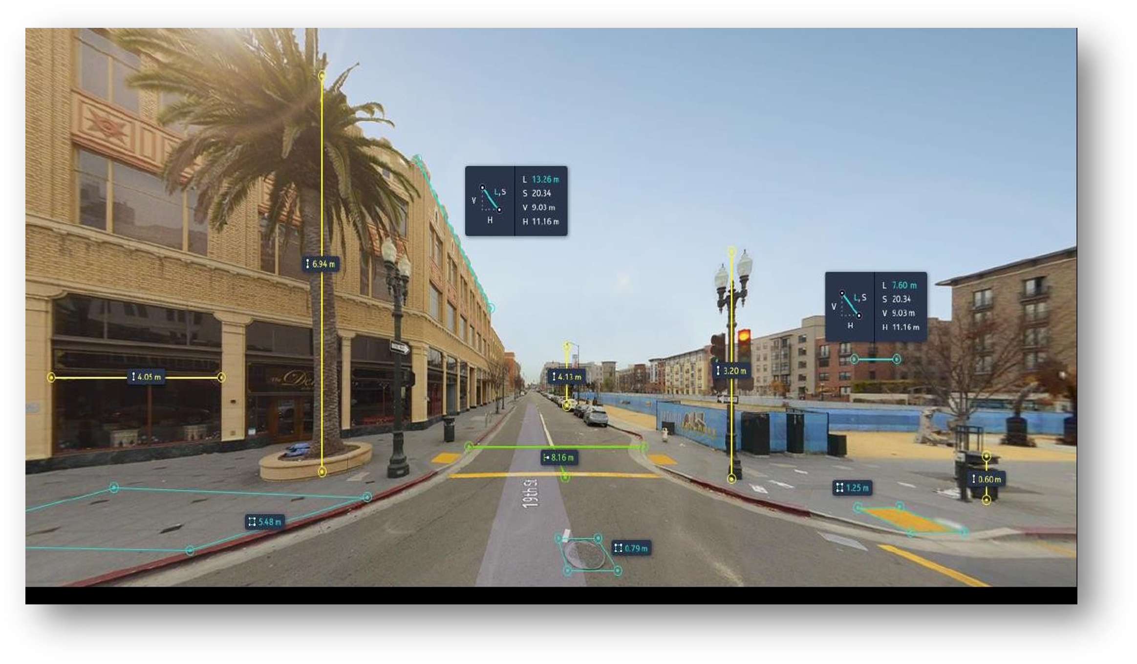
- Patented camera system
- Image capture every 5 meters
- 120 km/h capture speed
- Simple camera installation
- Geometrically accurate capture
- Average positioning accuracy < 10 cm
- Image capture every 5 meters while driving
- Scalable system for large areas
- Automatic processing of captured roads without overlap
- Optimization for positioning accuracy
– Image processing and quality control
– Object recognition from images
– Integration with third-party data layers
– Creation of comments and reports, and uploading of customer content
– Data access and information retrieval
– Data hosting in cloud or server environments
– Viewing, measuring, and analyzing 360° images via web platforms
– Integration with other software via API
– Access to images anytime, from anywhere
Indoor Mapping:
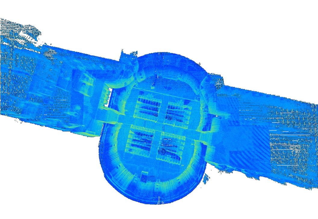
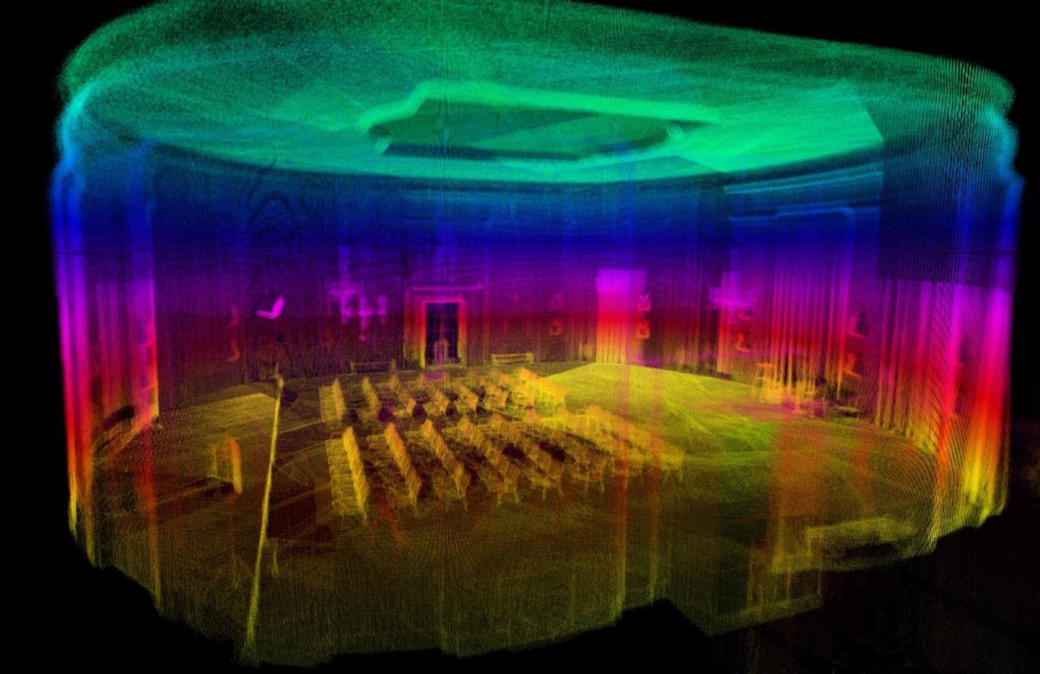
The Indoor Campus Mapping service is an advanced solution designed to visualize large-scale campuses, buildings, and indoor environments quickly and with high accuracy. It can scan up to 50,000 m² per day, and the collected data is transformed into 3D models with centimeter-level precision. The system allows direct annotation on scans without requiring any additional software. It offers advanced functionalities such as marking specific areas on models, analyzing point cloud data, and automatically generating floor plans.
The service can be used in many areas such as building planning, interior design, security analysis, navigation, energy management, emergency planning, and spatial analysis. Thanks to patented multi-sensor technology, high-resolution panoramas, point cloud data, and indoor features are combined on a single platform. It provides a dedicated digital twin infrastructure for all large-scale facilities, from campus management to healthcare institutions, universities, and industrial environments.