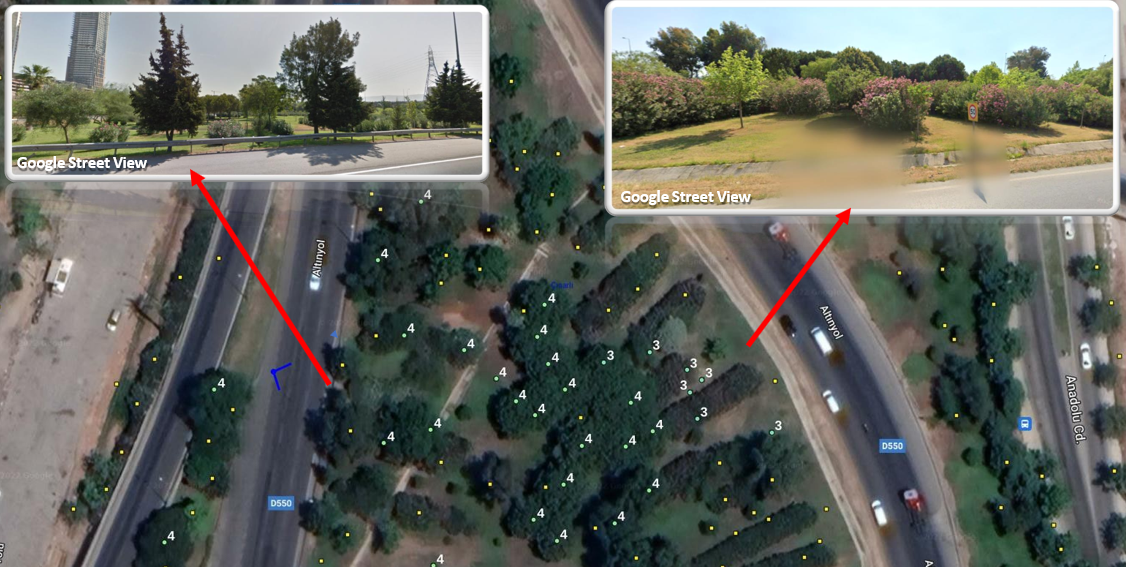
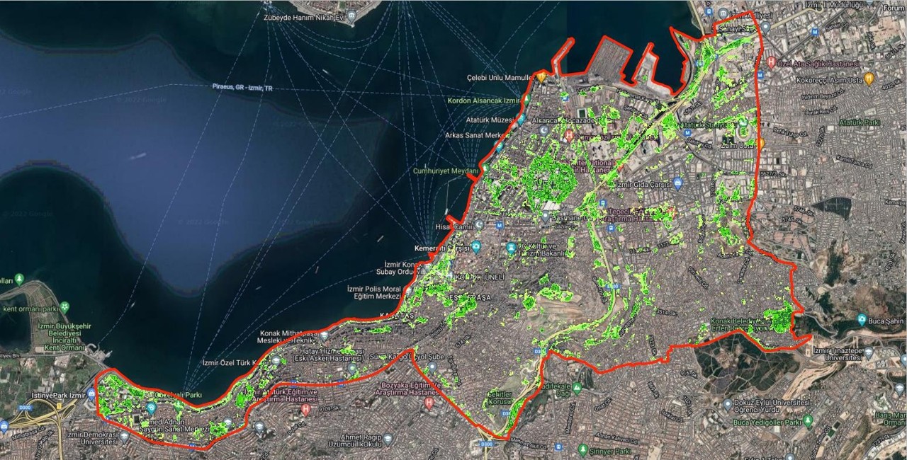
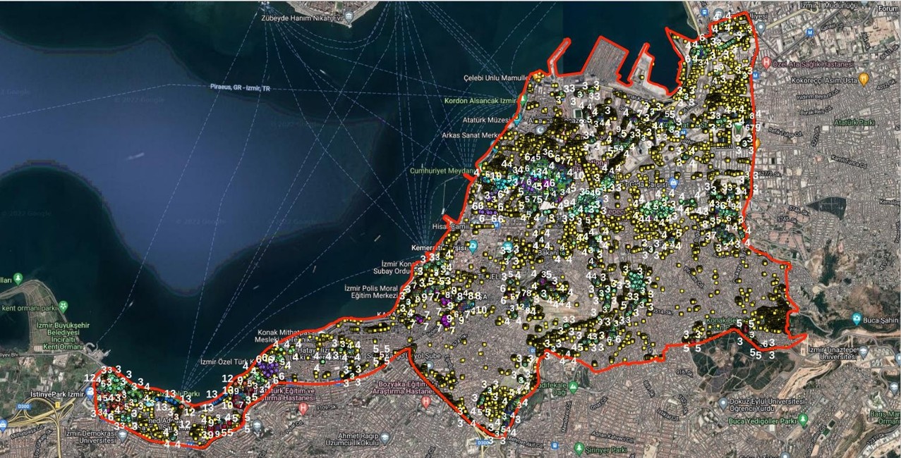
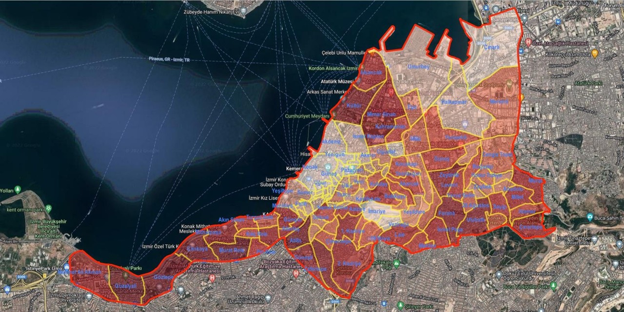
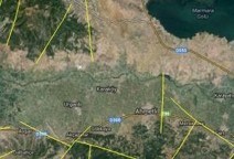
Carbon Sequestration of Urban Green Areas
The carbon sequestration capacity of urban green areas is analyzed using internationally compliant methodologies. Through remote sensing studies conducted with optical and laser data, tree density, tree heights, and the distribution of green areas are determined with high accuracy. Subsequently, GIS-based modeling is used to calculate the area, number of trees, carbon storage capacity, and annual CO₂ offset potential for each region.
This work provides municipalities and institutions with a robust, scientific, and verifiable dataset for green space planning, climate change initiatives, net-zero carbon strategies, urban forestry, carbon emission monitoring, and environmental sustainability reporting. Visiolab’s solution combines real satellite data with GIS technologies to produce concrete outputs aimed at reducing the carbon footprint of cities.
Agricultural Activities
Remote sensing (RS) methods developed for agricultural areas provide valuable data, particularly for determining crop diversity, monitoring crop development, and estimating yields.
- Meeting the water requirements of crops
- Detection of soil temperature and moisture levels
- Identification of plant diseases
- Classification and differentiation of agricultural crops
- Enabling early interventions
- Planning and management of agricultural production
- Detection of unauthorized agricultural activities and areas
These methods are used in many agricultural applications.
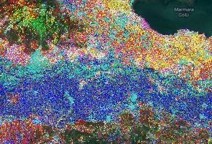
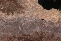
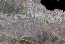
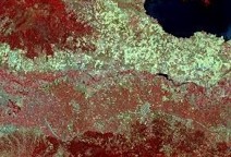
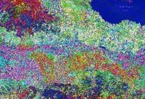
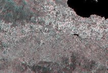
Detection of Geological Features
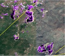
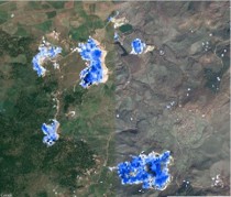
One of the most important application areas of remote sensing methods is geological studies. Determining geological features, analyzing landforms, studying natural disasters, structural geology, and especially the exploration of natural resources are among the key areas of use.
- Identification of lineaments and structural features
- Creation of mineral maps
- Detection of alteration minerals
- Creation of surface temperature distribution maps
- Generation of digital elevation models (DEM)
- Creation of lithological maps
- Generation of stereoscopic images
Such studies provide important data not only for identifying geological features but also for mineral, geothermal, and petroleum exploration.
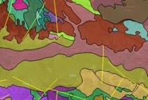
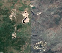
Mineral Exploration Studies
Remote sensing studies are conducted in the exploration of natural resources, particularly for the detection of alteration zones. This method is especially developed for the exploration of metallic minerals. These studies provide highly valuable data for the preliminary stages of mineral exploration.